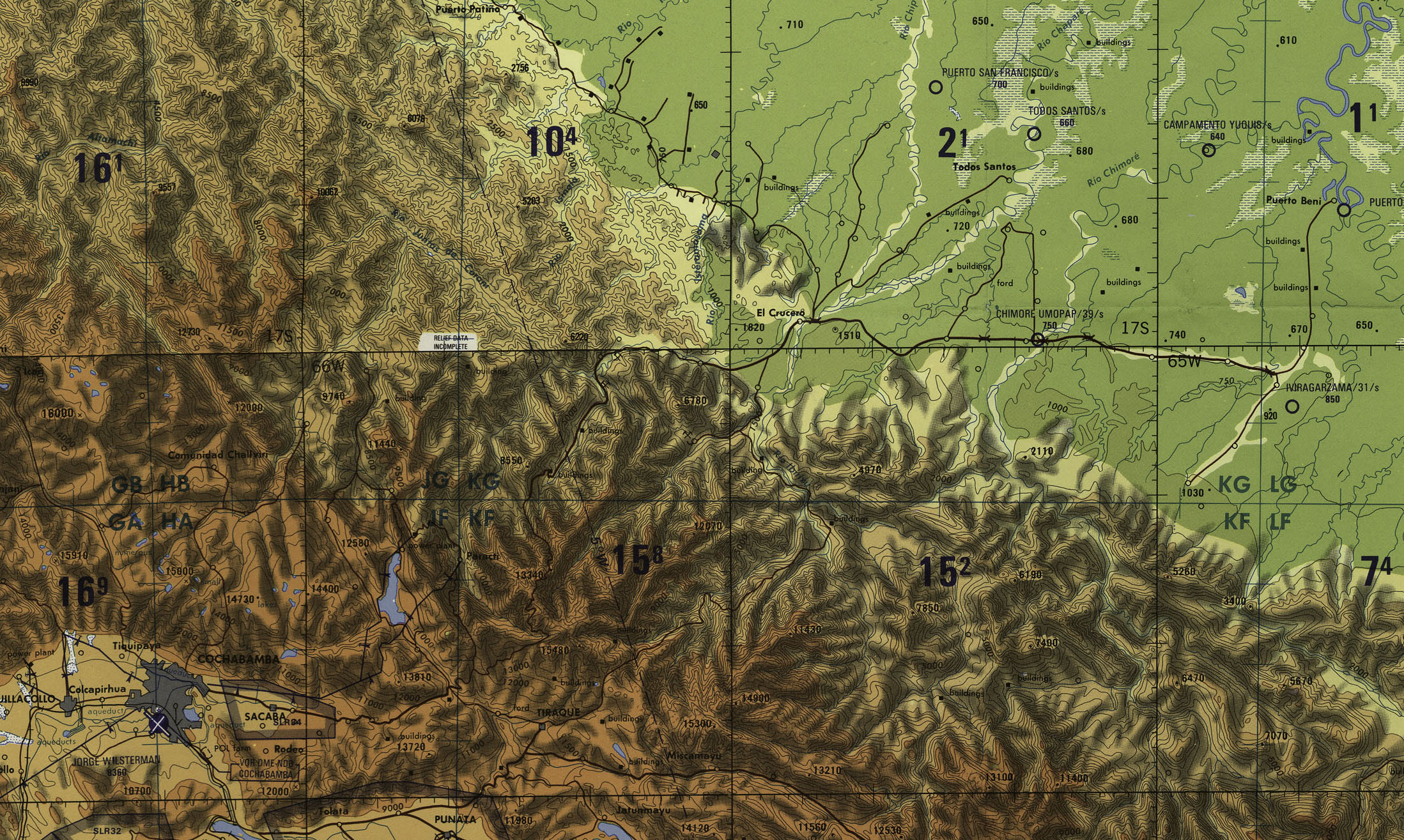
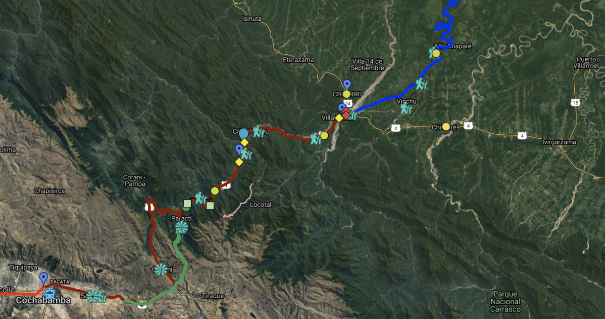
The Chapare is the lowland Amazonian region below the Andean city of Cochabamba in Bolivia. The Collins-Day Expedition of 1915 travelled from Cochabamba to Todos Santos in the Chapare just before modern economic development began. This is a brief excerpt from a paper Institutional Analysis of the Chapare Regional Development Project by Michael Painter, 1990, for USAID.
“Modem interest in the Chapare began to rise in the mid-twentieth century. For the preceding seven decades Bolivia’s domestic production had been increasingly organized around supplying tin ore to the international market, a historical pattern engendering social and economic change that culminated in the revolution of 1952 and the assumption of power by the Movimiento Nacionalista Revolucionario (MNR). As it became apparent that the MNR’s agrarian reform, enacted in 1953, was not going to solve the social and economic problems confronting the rural poor of the highland and valley regions, interest grew in exploiting the nation’s tropical lowlands. The success of the revolution had depended On the mobilization of highland peasant producers, but the agrarian reform did not meet the expectations that the mobilization had created. The state hoped that colonization of the tropical lowlands would relieve social pressures in the highlands and valleys, and perhaps provide a stimulus for economic growth there as well.
“Logging was the initial impetus for Chapare settlement, and it remained the most important economic activity until the boom in coca leaf production beginning displaced it in the mid-1970s. Settlement of the Chapare dates from the late 1930s, with the construction of a road from Cochabamba to EI Palmar in 1937. This reached Villa Tunari in 1940, and Todos Santos in 1942. The Chapare River changed course in 1946, however, isolating Todos Santos, and causing a large part of its population to move to the new settlements of San Miguel and Chipiriri. These two areas became major settlement centers for the Chapare after about 1950 (Flores and Blanes 1984:82). The area began to grow more rapidly in the 1960s. The Plan Nacional de Desarrollo for 1962-1971 assigned an important role to lowland settlement, and the Plan Nacional de Colonizacion, which appeared in 1963, designated the Chapare as a priority settlement area. In 1965, the Instituto Nacional de Colonizacion (INC) was established to administer and coordinate settlement activities, including areas for spontaneous and planned settlement; demarcation of individual holdings and formalization of titles; and coordination of international donors, state agencies and nongovernmental organizations involved in providing settlers with infrastructure and social services.
“Construction of the modern highway linking Cochabamba and Villa Tunari also began in 1965. With its completion, in 1972, families from the Andean valleys and highlands of Cochabamba and neighboring departments could establish plots in the tropical valley, and move back and forth between them and land holdings in their home communities. Along this main artery and spreading out on the web of secondary roads and trails being constructed, the population of the Chapare began to grow rapidly, reaching 24,381 people distributed among 54 hamlets by 1967 (Flores and Blanes 1984:82).”
Leave a Reply